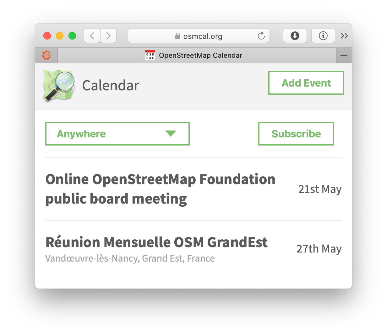
Making of the OpenStreetMap Calendar

Wikis have changed the landscape of information technology: No matter what organisation you‘re in and what topic you‘re working on, chances are that there is a Wiki, in which you can collaborate with others. Mostly without asking permission, you can put in notes, make lists and refine the material of others. Same with the OpenStreetMap wiki: Some pages are the standard source of information, like “How to map a…”, others are things relevant to just a single person, like pages where mappers list all the street they‘ve already mapped. And then there are things that have started with a good idea and gotten out of hand…
While collaborating on texts is good in most Wiki software, when it gets to tables and templates and structures, things get confusing, rather quickly. Sadly one of those examples is the Wiki calendar, which involves fiddling around with the custom templates, writing markup and someone rotating past events by hand. When we were talking about the OSM Wiki during events, people have been complaining repeatedly about the calendar. Some communities don‘t even announce their events in it, because they have shifted to Meetup or Facebook for better usability. There have been discussions how to solve it, maybe some sort of plugin or extension, but nothing has happened.
Inception
So, in early summer of 2019 I was mad as hell and couldn‘t take it anymore, so I sat down and started writing a standalone, special purpose web-based calendar for the OSM community. With maps!
Initially I wanted to utilize the infrastructure of the German OpenStreetMap Local Chapter, FOSSGIS, but they were busy generating rules about what I got to provide before getting a precious openstreetmap.de subdomain, so I went on my own and the domain osmcal.org was born.
The software is based on the incredibly powerful Django framework which helps with HTML templates, form handling, databases, authentication and much more. It‘s all open source, of course, as it should be. The issue tracker is on GitHub and already attracts a small community of people with bug reports, feature requests or general questions.
Progress
While osmcal started with a minimal feature set, development has continued and with the input from community members some features have shipped since then:
- In October 2019, the possibility to “join“ events has been added, so organizers get a list of participants and as a participant you can see who else is going to come
- In December 2019, iCalendar subscriptions have been made available
- Since February 2020, event organizers can create surveys for participation, so they can ask people for e.g. their t-shirt sizes, their dietary preferences or skill level.
Special thanks to all reporters, especially @jbelien, @adrienandrem and @qeef for their collaboration and testing!
Future
Of course, at the moment, in-person meetings are out of the question, but this doesn’t mean that there are no events at all. Some are postponed, but many are happening online and those need to be scheduled and communicated as well. Thus, now it’s about time to integrate time zone support, which I initially deemed unnecessary as every event would have a location, but that has been disproven by the increased need of online events.
Also, I want more communities to integrate osmcal into their websites and wiki pages, so their lives get easier by not having to create and maintain their events on multiple platforms.
I was asked to consider applying for an OpenStreetMap Microgrant, so I submitted the aforementioned ideas with a request for funding. If you like to see those features and want to support further development, consider expressing your support on my grant application.
Making more connections
One new functionality that will be coming soon is community tagging, so organizers can create non-OSM-related events and have a dedicated feed with all their events. But more on that when it’s done. Stay tuned.
